

Timeline
No-Cost Extension - May 2023

Project Status & Information
Status
December 2025
Governance

GLSC

FAO
Financial Performance
(Actual+ Commitments)
Capacity Development
Results
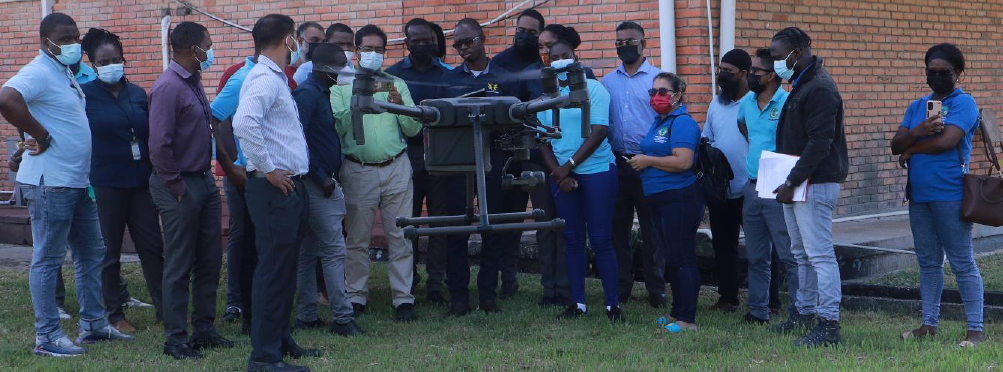
using LIDAR
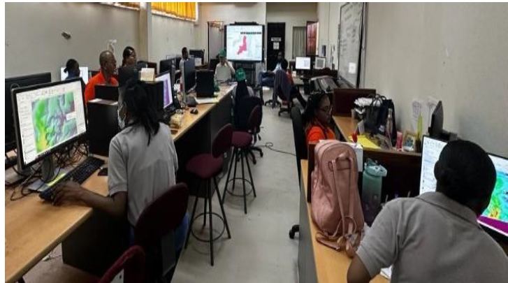
Capacity Development

Background
The Sustainable Land Development and Management (SLDM) Project, funded through the Guyana REDD+ Investment Fund (GRIF), seeks to enhance land management practices in Guyana by ensuring sustainability in land administration systems, streamlining the provision of land services, and strengthening decision-making processes. In doing so, the project aims to foster long-term economic, social, and environmental development across the country.
Implemented by the Guyana Lands and Surveys Commission (GLSC), with the Food and Agriculture Organization of the United Nations (FAO) as the partner entity, the SLDM Project is one of seven GRIF-funded initiatives. It plays a pivotal role in improving land use planning, strengthening institutional capacity, and equipping communities with the tools and knowledge needed to manage land resources responsibly.
The project is guided by four key outcomes:
- Mainstreaming SLDM in Policy, Institutional and Governance Mechanisms to prevent degradation and restore degraded lands.
- Strengthening Institutional and Human Capacity for participatory and integrated sustainable land management.
- Enhancing Local Governance to apply sustainable land management on the ground in three (3) administrative regions (regions 4, 7, and 10) supporting SLDM implementation.
- Reinforcing Project Management and Monitoring Frameworks to ensure effective delivery and accountability.
Through these outcomes, the SLDM Project focuses on addressing challenges such as land degradation, competing land uses, and the need to strengthen land administration for further enhancing transparency and efficiencies. Other important aspects of the project involve building a modern spatial data infrastructure, advancing sustainable land management practices, and further aligning Guyana’s land governance systems with global standards of sustainability and climate resilience.
Ultimately, the SLDM Project not only improves national land governance but also supports Guyana’s broader development agenda and its leadership in global climate and forest conservation.

Results
Sustainable Land Development and Management (SLDM) Project – Progress Summary (Status as of March 2026)
The Sustainable Land Development and Management (SLDM) Project, implemented by the Guyana Lands and Surveys Commission (GLSC) with technical support from the Food and Agriculture Organization of the United Nations (FAO) and financing from the Guyana REDD+ Investment Fund (GRIF), successfully concluded its implementation phase in December 2025. As of March 2026, the project has transitioned into a structured close-out phase focused on completing administrative, financial, and operational requirements while ensuring the sustainability of project investments.
The SLDM Project achieved 98% implementation and 95% expenditure, reflecting strong overall delivery against its objectives of modernizing land administration systems, strengthening institutional capacity, decentralizing land services, and promoting sustainable land management in support of Guyana’s Low Carbon Development Strategy (LCDS).
During the first quarter of 2026, close-out activities progressed steadily, including the verification and transfer of project assets, reconciliation of outstanding financial commitments, preparation of final technical and financial reports, and continued coordination among GLSC, FAO, and the GRIF Secretariat. To facilitate the completion of these remaining activities, FAO submitted a request for a no-cost extension in February 2026.
Summary of Key Achievements
At project completion, the SLDM Project successfully delivered major policy, institutional, technical, and infrastructure improvements that have strengthened Guyana’s land governance framework and enhanced national capacity for sustainable land management.
Output Area | Indicator | Achievement |
|---|---|---|
Policy & Governance | Countries represented at UNCCD CRIC 17 | 94 |
Capacity Building | Stakeholders trained nationally | 600+ |
Regional Sustainable Land Management | Local stakeholders trained | 168 |
Geospatial Systems | National LiDAR coverage | 12,919 km² |
Infrastructure | GLSC offices constructed | 2 |
International Knowledge Exchange | National experts participating | 10 |
Major Project Milestones
Policy, Governance and Institutional Strengthening
- Draft National Land Use Policy Paper completed.
- National Spatial Data Infrastructure (NSDI) Action Plan finalized.
- Strengthened inter-agency coordination for land governance.
- Successfully hosted the UNCCD CRIC 17 meeting with participation from 94 countries.
Modernized Geospatial Systems
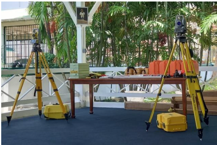
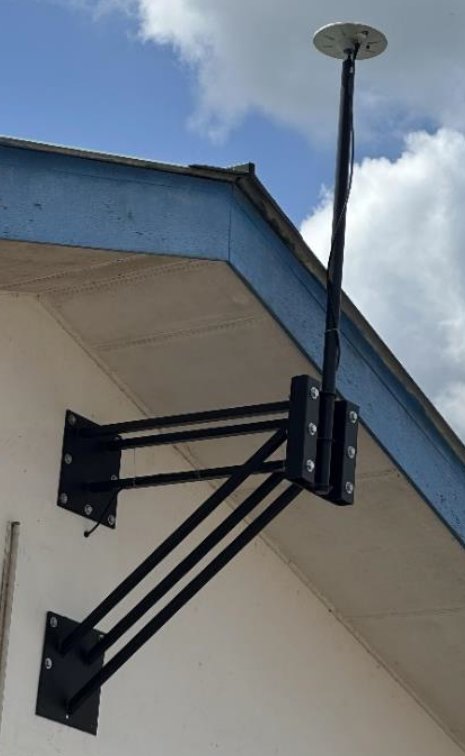
- Expanded the national Continuously Operating Reference Station (CORS) network.
- Developed GuyanaGEOID2024, the country’s first national geoid model.
- Completed national LiDAR mapping covering 12,919 km².
- Established modern digital cadastral and land information systems.
Sustainable Land Management
- Implemented demonstration pilots in Regions 4, 7, and 10.
- Trained 168 local stakeholders in sustainable land management practices.
- Introduced innovative approaches including biochar, assisted natural regeneration, vermicomposting, and climate-smart agriculture.
- Supported international knowledge exchange through participation of 10 national experts in Brazil.
Capacity Development
- Trained more than 600 stakeholders nationwide.
- Strengthened the technical and institutional capacity of GLSC and partner agencies.
Infrastructure and Decentralized Service Delivery
- Constructed and officially handed over new GLSC offices in Bartica (Region 7) and Port Kaituma (Region 1) in December 2025.
- Expanded access to land administration, surveying, leasing, and titling services, particularly for hinterland communities.
Results and Impact
The SLDM Project has established a lasting foundation for improved land governance in Guyana through strengthened institutional capacity, modernized geospatial and land administration systems, expanded decentralized service delivery, and enhanced national expertise in sustainable land management. The project has improved access to land services, strengthened climate-resilient land-use planning, and reinforced Guyana’s commitment to sustainable development and the Low Carbon Development Strategy.
The project’s investments have been embedded within national institutions, ensuring the continued use of digital systems, infrastructure, and technical capacity beyond project completion. Ongoing close-out activities during Q1 2026 are supporting a smooth project transition while safeguarding the long-term sustainability and impact of this flagship GRIF investment.
Results Achieved (as of June 2025)
Land Policy and Governance
- The National Land Use Policy Paper has been completed and submitted to the Government of the Cooperative Republic of Guyana. This document addresses policy, legal, and institutional frameworks, as well as international conventions, and serves as a guiding resource for policymakers by outlining current challenges, future visions, and strategic directions for Guyana’s land sector.
- Strategic planning has resulted in the development of a five-year Strategic and Business Plan and an Annual Business Plan for the GLSC. These plans enhance operational efficiency, financial sustainability, and the Commission’s ability to address emerging land management challenges.
- With technical support from the SLDM Project, GLSC is upgrading its land information system into an integrated workflow-based platform, combining spatial and non-spatial lease data and tenure records to create a more secure, efficient, and transparent system.
Technology Integration and Geospatial Infrastructure
- The National Spatial Data Infrastructure (NSDI) Action Plan has been completed and implementation initiated.
- Developed under the Integrated Geospatial Information Framework (IGIF), Guyana became the first country to receive UN approval for its NSDI under the Committee of Experts on Global Geospatial Information Management. This milestone will streamline geospatial data sharing, updating, and analysis among agencies.
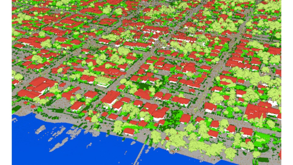
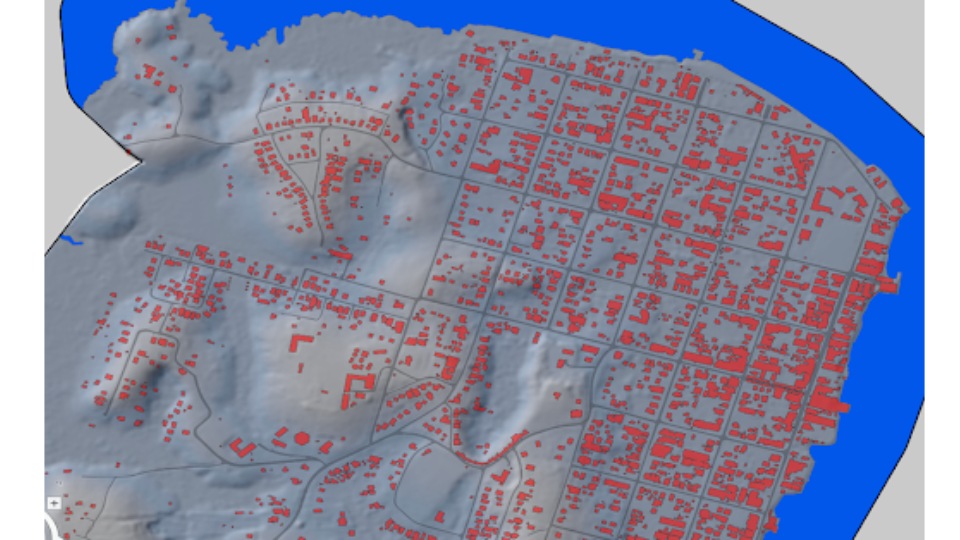
- The National Topographic Base mapping is being updated with Light Detection and Ranging (LIDAR) technology. Covering 545 km² of urbanized area and 15,736 km² of rural land, the updated maps provide terrain data, aerial imagery, and extracted features for use in hydrography, housing, environment, agriculture, forestry, and urban/rural planning.
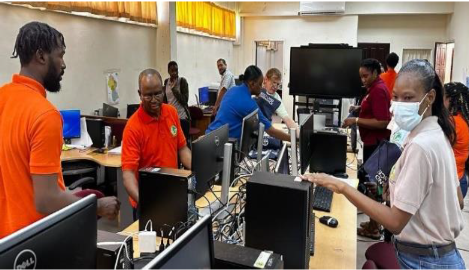
- Eleven (11) NextGen web-based modules were developed to process land leases more efficiently. The system simplifies workflows and eliminates the need for local installation, supported by newly developed standard operating procedures.
Land Management and Restoration
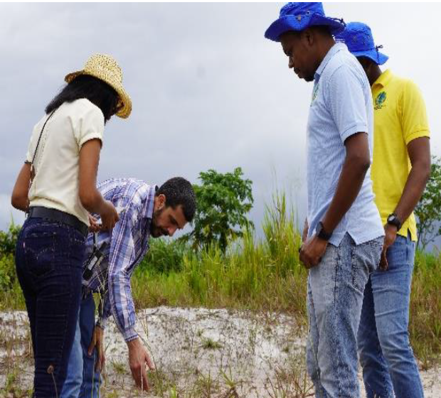
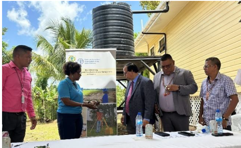
- Land degradation diagnostics were conducted in pilot regions using the SEPAL platform, complemented by soil analysis and fieldwork at sites in Regions 4, 7, and 10. These assessments informed recommendations for sustainable interventions.
- Pilot interventions on degraded and deforested lands are 38% complete, with restoration activities underway to generate lessons for future scaling.
Capacity Building and Training
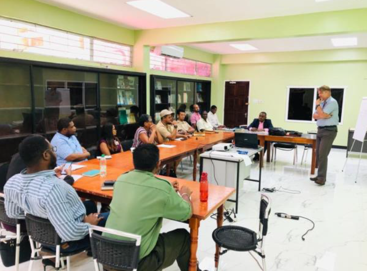
- 482 personnel from GLSC and other government agencies received training to strengthen institutional capabilities in land policy and regulatory frameworks.
- 18 staff from GLSC and related agencies completed the Diploma in Land Administration Program at the University of Guyana.
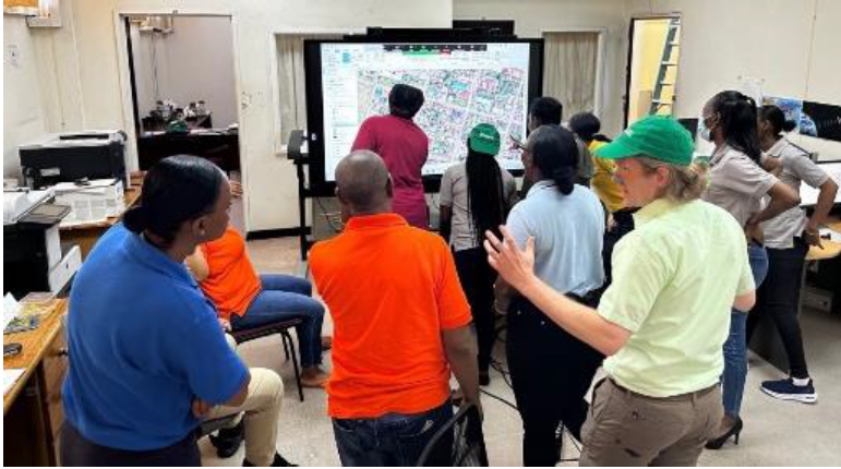
- 131 stakeholders (over 50% women) were trained in land policy, regulations, and GIS/land administration systems to improve national and local capacity for sustainable land use.
- Capacity development activities have been completed (100%), ensuring stronger compliance and institutional understanding of land governance.
Infrastructure Development
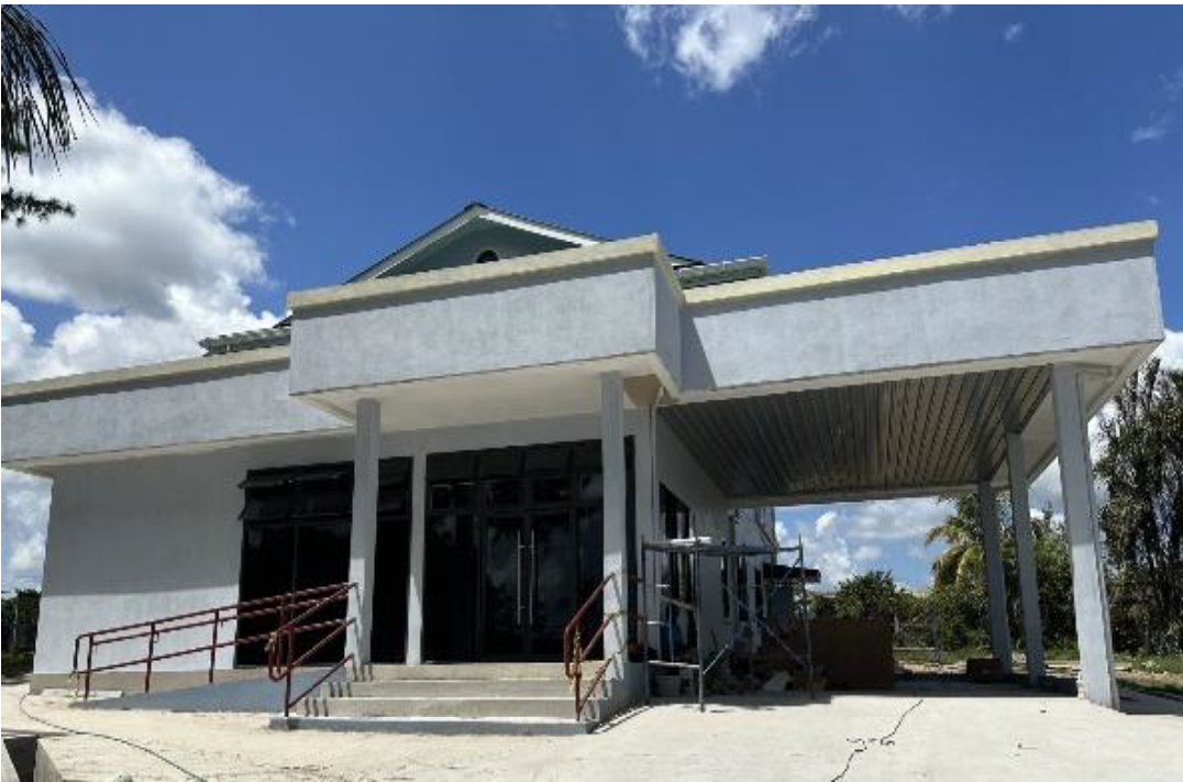
- GLSC’s regional offices have been constructed or rehabilitated in Mabaruma, Port Kaituma, Black Bush Polder, and Bartica. These upgrades are expanding access to decentralized land administration services and improving service delivery for citizens nationwide.
Progress and Financial Performance
- Improved Land Administration and GIS Services: 85% progress
- National-Level Mapping for Land Cover and Land Use: 90% progress (maps being finalized)
- Pilot Intervention on Degraded Lands: 38% progress
- Capacity Development on Land Policy and Regulations: 100% completed
- Financially, the project is on track with over 90% of allocated resources utilized or committed.
Looking Ahead
Scheduled to close in December 2025, the SLDM Project is focusing on consolidating results, finalizing the national land cover/land use mapping, and scaling pilot restoration interventions. With its strong emphasis on capacity development, GIS services, and policy frameworks, the project is expected to leave a lasting impact on land management in Guyana, directly supporting the Low Carbon Development Strategy (LCDS 2030) and contributing to global climate resilience.
Documents
|
File
|
Size
|
Type
|
Last Modified
|
|---|---|---|---|
|
201 KB
|
pdf
|
Feb 08, 2024
|
|
|
88 KB
|
pdf
|
Feb 08, 2024
|
|
|
4 MB
|
pdf
|
Feb 08, 2024
|
|
|
1 MB
|
pdf
|
Feb 08, 2024
|
|
|
1 MB
|
pdf
|
Feb 08, 2024
|