
Timeline

Project Status & Information

GLSC

FAO

Background
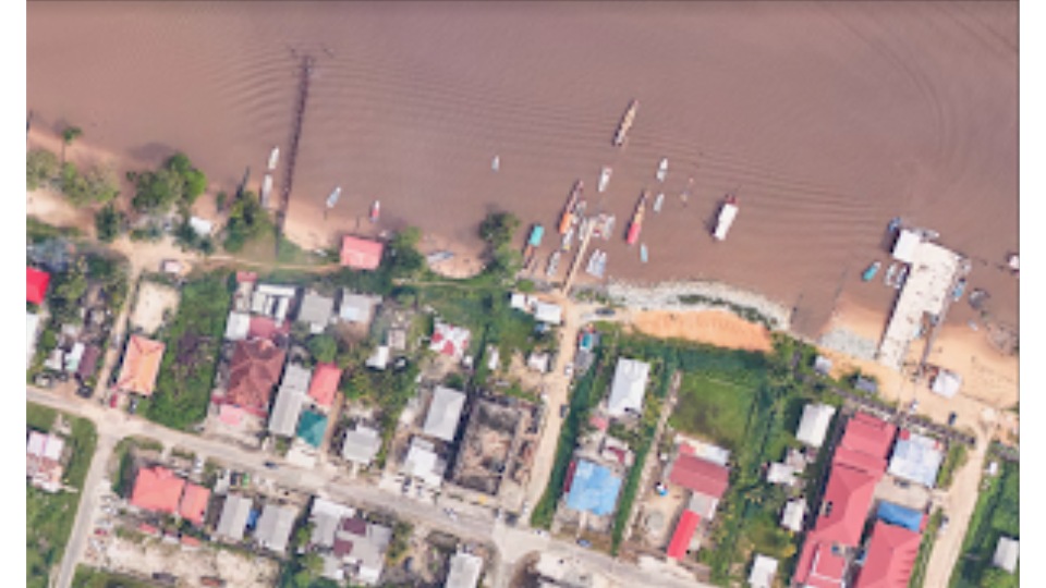
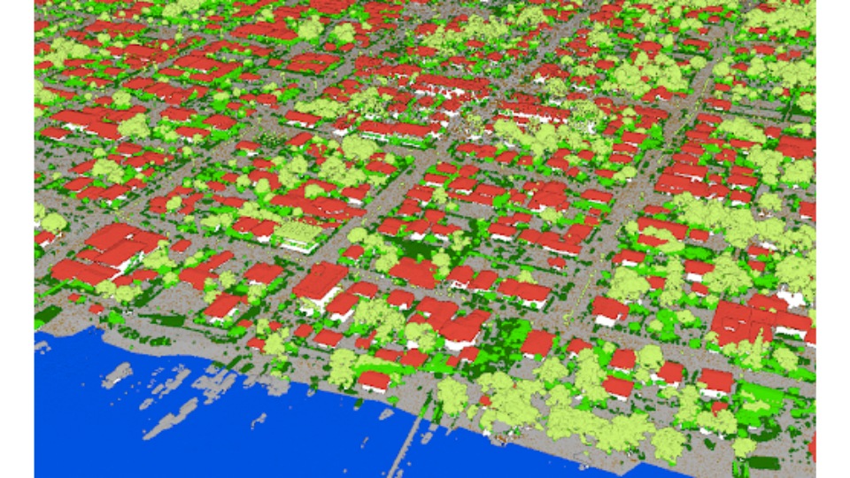
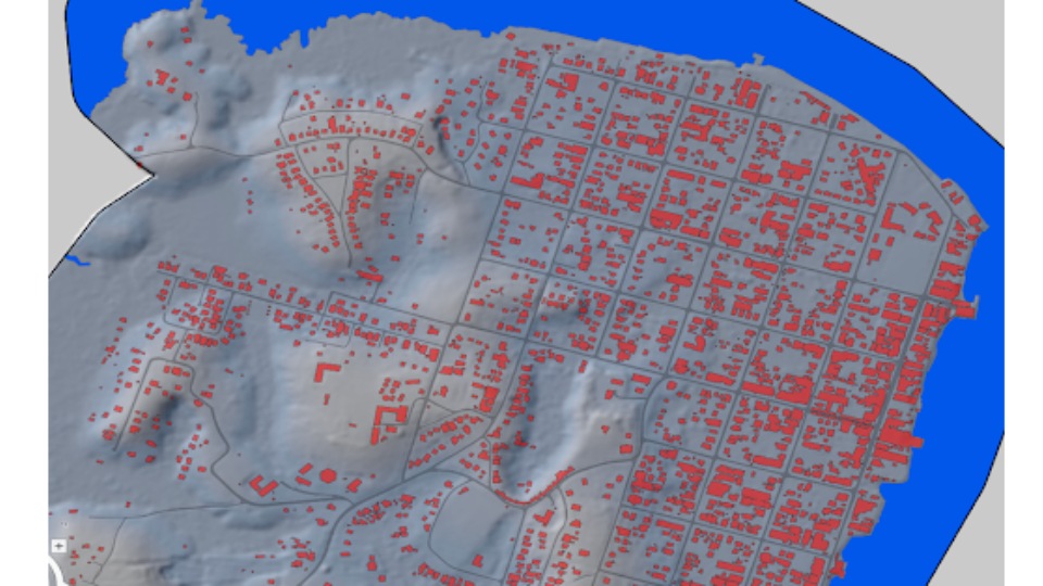
Results

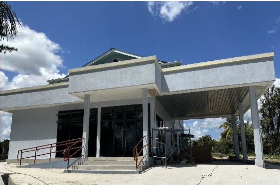
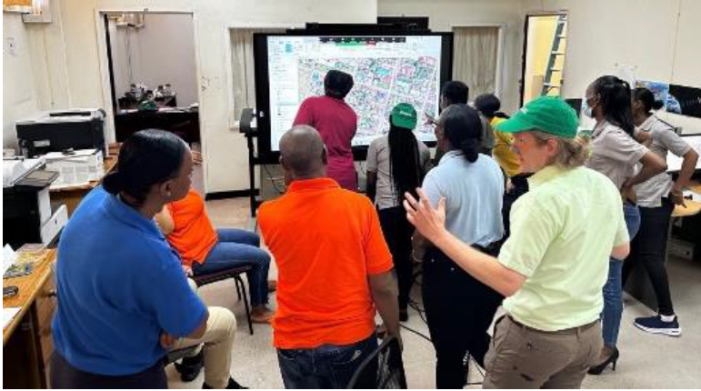
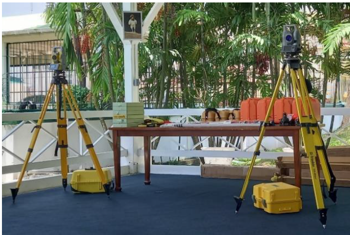
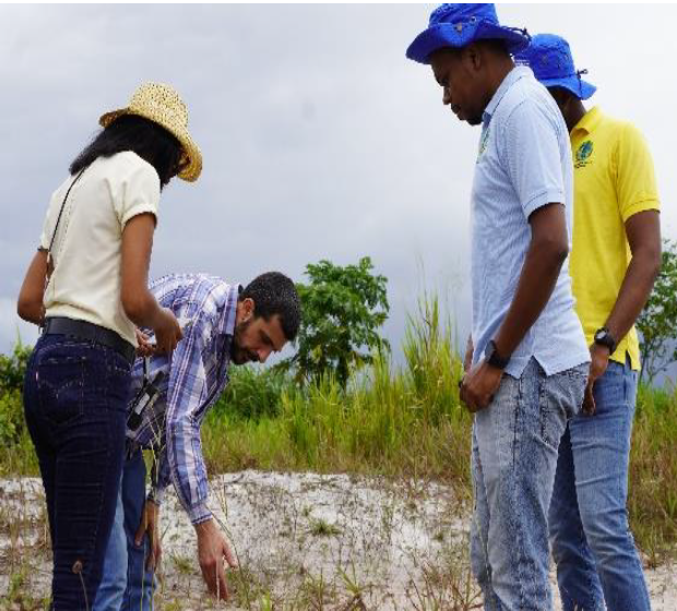
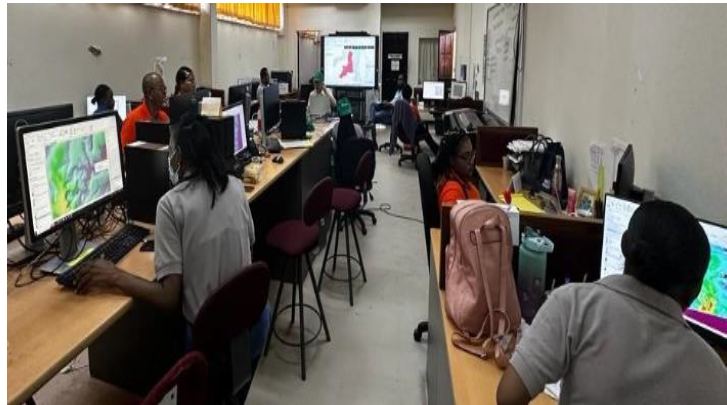
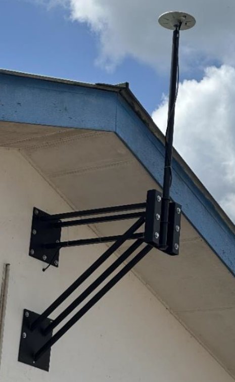
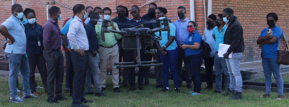
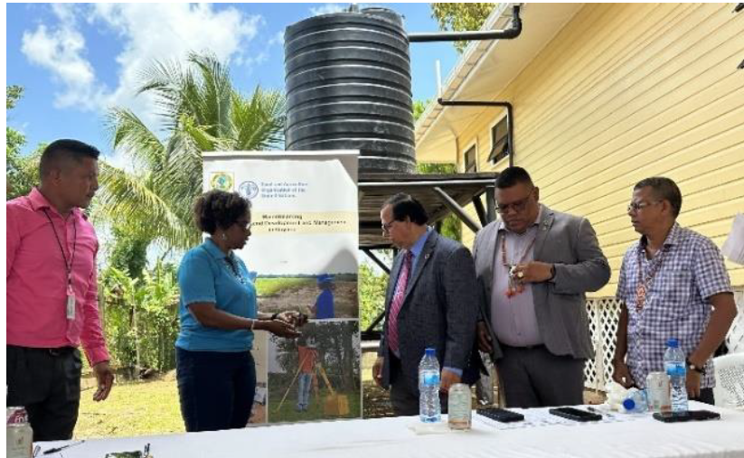
Photos
Documents
Show
files
Loading
|
File
|
Size
|
Type
|
Last Modified
|
|---|---|---|---|
|
201 KB
|
pdf
|
Feb 08, 2024
|
|
|
88 KB
|
pdf
|
Feb 08, 2024
|
|
|
4 MB
|
pdf
|
Feb 08, 2024
|
|
|
1 MB
|
pdf
|
Feb 08, 2024
|
|
|
1 MB
|
pdf
|
Feb 08, 2024
|